
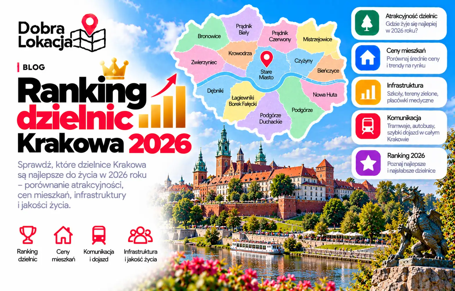
Kraków Districts Ranking 2026 – where it's best to live
We compared all 18 districts of Kraków using hard data: what share of residents can walk to a tram, a school, a grocery and a park. Updated weekly.
Methodology. Sample points are OpenStreetMap residential buildings (42k+ grouped into ~100 m blocks, weighted by floors). The four columns show accessibility scores, not percentiles: transport is access to tram/rail ≤500 m or bus ≤300 m; schools combine school ≤800 m (60%) and kindergarten ≤600 m (40%); infrastructure combines grocery ≤500 m (35%), pharmacy ≤500 m (20%), clinic ≤1.5 km (20%) and service variety (25%); green is park or forest ≤400 m (cemeteries excluded). Multiply the four displayed scores by 30%, 25%, 25% and 20% to get the service score. Combined averages service and user scores if ratings exist; otherwise it equals service score.