
Toruń Districts - Interactive Map & Guide
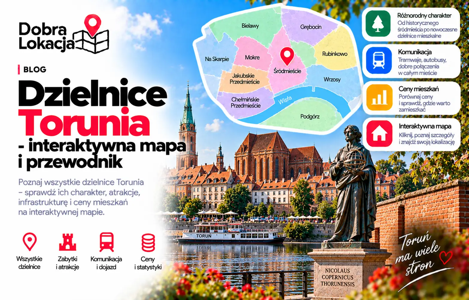
Toruń is compact, but its neighbourhoods differ clearly: from the tourist-heavy Old Town to Bydgoskie and Jakubskie Przedmieście, large housing estates such as Na Skarpie and Rubinkowo, and left-bank Podgórz. This interactive map helps compare their character and location.
Interactive map of Toruń districts
Click a neighbourhood on the map or select it from the list. You will see its character, estimated population and area.
Select a neighbourhood:
Toruń districts overview
Below are all Toruń neighbourhoods from the districts layer, useful for comparing apartment locations.
Glinki
Quiet, mostly single-family housing on the left bank of the Vistula
Podgórz
Left-bank district with a small-town feel and its own service centre
Stawki
Left-bank estate mixing blocks and single-family houses
Czerniewice
Suburban character in the south: houses, gardens and open land
Piaski
Small outskirts district with single-family housing and green areas
Rudak
Peripheral riverside district with single-family homes and greenery
Starotoruńskie Przedmieście
Western edge of the city with green areas and single-family housing
Bydgoskie Przedmieście
Historic tenements and art nouveau villas by the Vistula, near parks and the university
Rybaki
Riverside area right next to the Old Town, close to the boulevards
Stare Miasto
Gothic UNESCO-listed centre with full services, dining and tourism
Jakubskie Przedmieście
District next to the Old Town with tenements, retail and good transport
Winnica
Right-bank district with views of the old town panorama and lots of greenery
Kaszczorek
Picturesque neighbourhood at the Drwęca mouth, small houses and forests
Na Skarpie
The largest housing estate on the right bank, well connected
Koniuchy
Large block estate with full infrastructure: schools, shops, clinics
District character
Old Town and inner suburbs
Stare Miasto, Bydgoskie Przedmieście, Jakubskie Przedmieście and Chełmińskie Przedmieście offer the best access to services, universities, monuments and public transport. They are the most urban parts of Toruń, but tourism and parking limits matter in the core.
Large residential estates
Na Skarpie, Rubinkowo, Koniuchy and Mokre are practical for everyday life, with shops, schools, transport and plenty of housing. They differ in density, greenery and travel time to the Old Town.
North and academic areas
Bielany, Wrzosy and the UMK campus area offer more greenery and a calmer rhythm. They work well for people who want city access without living in the very centre.
Left bank and outskirts
Podgórz, Stawki, Glinki, Rudak and Czerniewice have a calmer, partly suburban character. Cross-river connections and nearby services are worth checking carefully.
Check a specific location in Toruń
The district is only the first step. Enter an exact address and check transport, greenery, schools, services and everyday comfort.
Open location map