Lublin Districts - Interactive Map & Guide
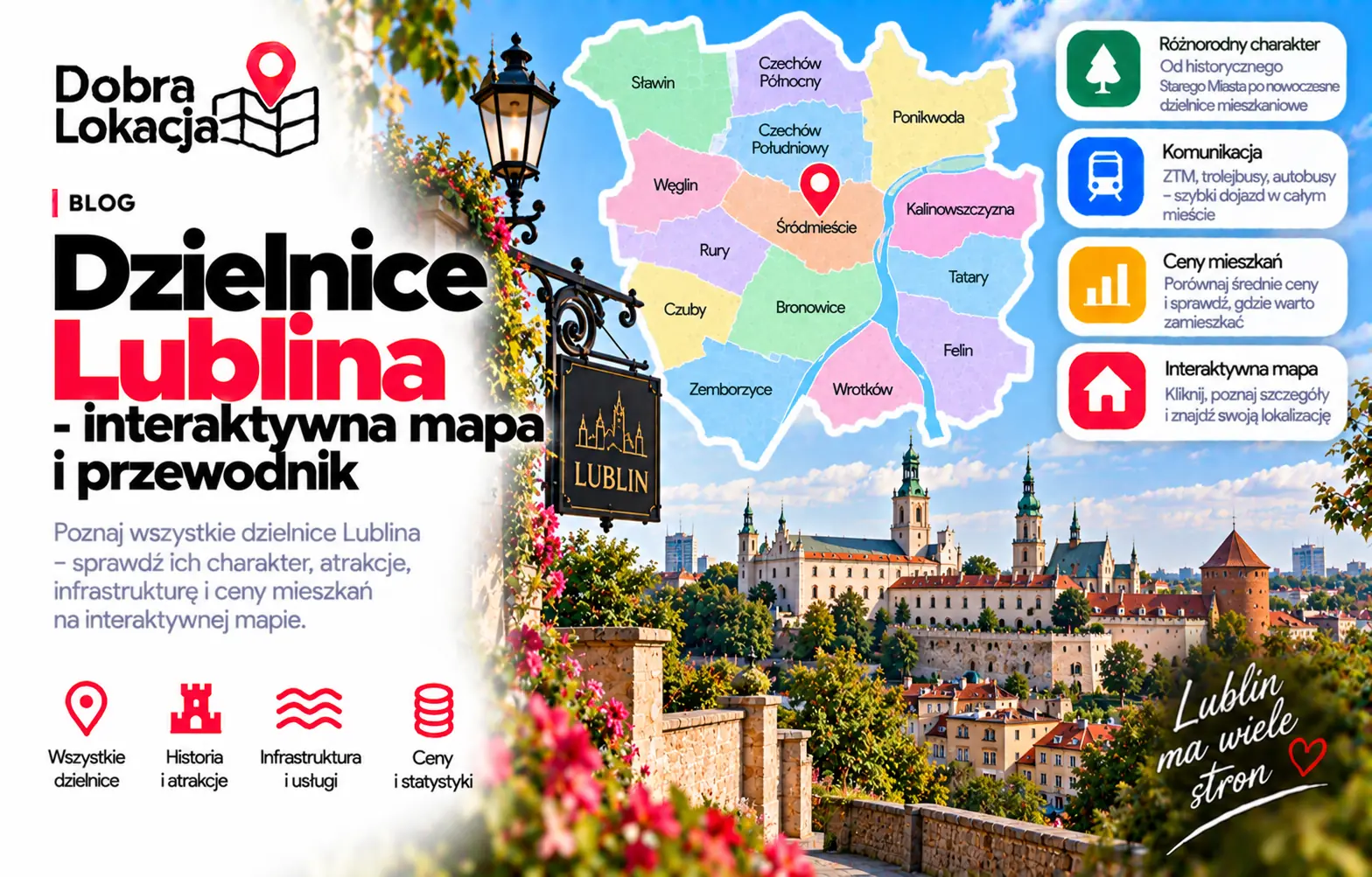
Lublin has a readable district structure: central Stare Miasto and Śródmieście, academic and residential western districts, the large Czuby and Czechów estates, plus calmer southern and eastern areas. This interactive map helps compare their location, scale and character.
Interactive map of Lublin districts
Click a neighbourhood on the map or select it from the list. You will see its character, estimated population and area.
Select a neighbourhood:
Lublin districts overview
Below are all Lublin districts from the district layer, useful for comparing apartment locations.
Abramowice
Peripheral southern district with a suburban feel and open land
Bronowice
Working-class district with Bronowice Park, close to the centre and station
Czechów Południowy
Densely built northern estates with developed services and schools
Czechów Północny
Quieter part of Czechów: blocks, single-family homes and green areas
Czuby Południowe
Popular housing estates with plenty of greenery and full infrastructure
Czuby Północne
Block estates with parks, schools and retail, close to the Zemborzyce Lake
Dziesiąta
District of single-family homes and tenements with its own service centre
Felin
Modern estates by the life sciences university and the economic zone
Głusk
Southern outskirts with single-family housing and fields
Hajdów-Zadębie
Eastern industrial area with limited housing
Kalinowszczyzna
District by the Bystrzyca valley, a mix of blocks and older buildings
Konstantynów
Academic part of the city with green areas and housing
Kośminek
Low-rise neighbourhood with local shops and a calm atmosphere
Ponikwoda
Growing north-eastern district with new developments and houses
Rury
Large block estates by the UMCS and KUL universities, excellent transport
Stare Miasto
Historic old town with Lublin Castle, tourism and dining, few new flats
Szerokie
Suburban western edge: single-family homes, quiet and lots of greenery
Sławin
Prestigious, green single-family housing district in the north
Sławinek
Green district with the botanical garden and low-key housing
Tatary
Industrial-residential eastern area with blocks and workplaces
Wieniawa
District next to the centre with the Saxon Garden, stadium and good services
Wrotków
Southern district by the Zemborzyce Lake with blocks and recreation areas
Węglin Południowy
New developer estates with growing infrastructure and schools
Węglin Północny
Quiet single-family housing with good access to the centre
Za Cukrownią
Small district by the former sugar factory, near the centre and the Bystrzyca
Zemborzyce
The greenest part of the city: forest, lake and recreation
Śródmieście
Very centre: Krakowskie Przedmieście promenade, offices, restaurants and full transport
District character
Old Town and Śródmieście
Stare Miasto and Śródmieście offer the strongest access to services, universities, culture, restaurants and public transport. They are the most urban parts of Lublin, but noise, parking and tourist traffic should be checked address by address.
West and academic districts
Wieniawa, Rury, Konstantynów, Sławinek and Szerokie are closely connected with universities, greenery and everyday services. They are good options for people who want centre access with a calmer rhythm.
Czuby, Czechów and the north
Czuby Północne, Czuby Południowe, Czechów Północny, Czechów Południowy, Sławin and Ponikwoda form large residential districts with developed infrastructure. They differ in density, greenery and commute convenience.
South, east and outskirts
Wrotków, Zemborzyce, Bronowice, Tatary, Felin, Dziesiąta and Głusk are more varied: from recreation around Zalew Zemborzycki to housing, industry and new development. Exact transport links matter here.
Check a specific location in Lublin
The district is only the first step. Enter an exact address and check transport, greenery, schools, services and everyday comfort.
Open location map