

Łódź Districts – Interactive Map & Guide
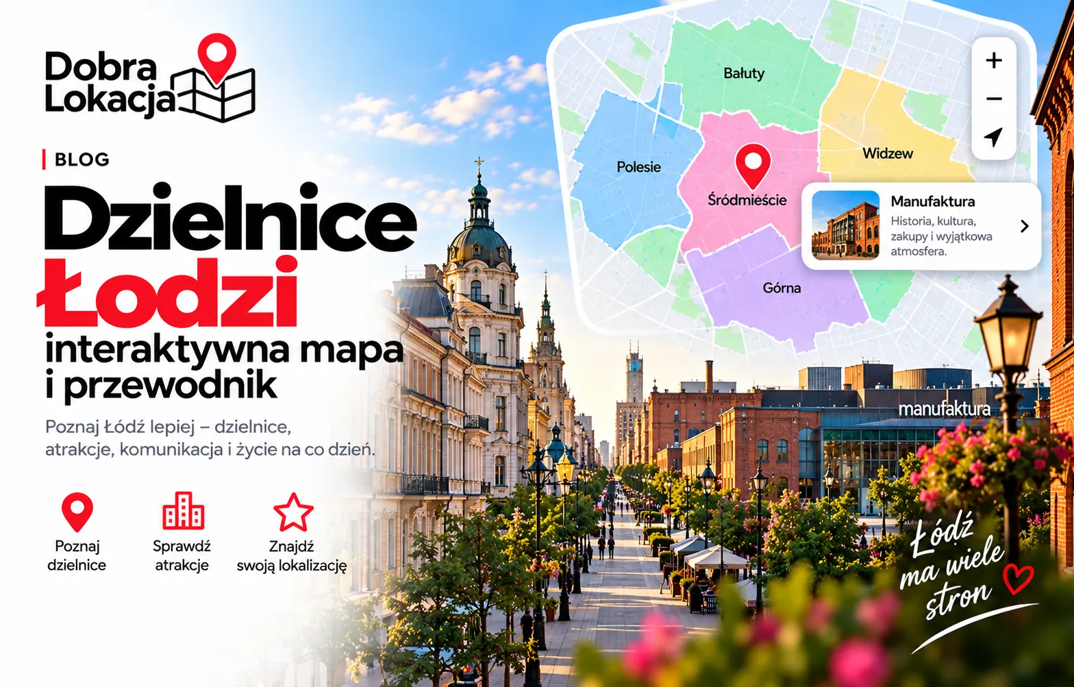
How many districts does Łódź have? Poland's third-largest city is divided into 5 districts: Bałuty, Górna, Polesie, Śródmieście and Widzew. This interactive guide shows how they differ and where to look for a flat.
Interactive Map of Łódź Districts
Click on the map or pick a district from the list below to see details. Each district has its own colour.
Select a district:
Districts Overview
Bałuty
Largest district in the north – Manufaktura, Radogoszcz and Teofilów
Górna
Southern part of the city with Chojny, Dąbrowa and Górniak estates
Polesie
Western district with the large Zdrowie park and the zoo
Śródmieście
City centre with Piotrkowska street and Łódź Fabryczna station
Widzew
Eastern district with Olechów, Janów and large green areas
District Character
Śródmieście
The heart of the city with Piotrkowska street, Łódź Fabryczna station and renovated tenements. Best transport and services, but the noisiest and least green.

Bałuty
The most populated district. Manufaktura, Radogoszcz and Teofilów are worlds apart – from a post-industrial shopping complex to large prefab estates.
Polesie
The western part with Zdrowie park, the zoo and the Fala aquapark. A good choice for families who want greenery near the centre.

Górna
Southern Łódź: Chojny, Dąbrowa and Górniak. Quiet residential estates, lots of low-rise housing and affordable prices.
Widzew
The largest district by area in the east – Olechów, Janów and Nowosolna. Plenty of new developments and green space, but a longer commute downtown.

Check a Specific Location in Łódź
Enter an address and see a full location rating – transport, infrastructure, schools and greenery.
Open location map