

Kraków Districts – Interactive Map & Guide
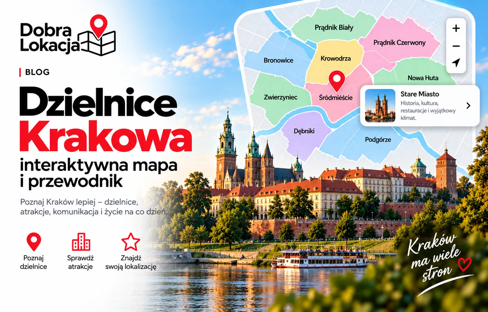
How many districts does Kraków have? The capital of Lesser Poland is split into 18 administrative districts marked with Roman numerals – from I Stare Miasto (Old Town) to XVIII Nowa Huta. This interactive guide walks you through all of them.
Interactive map of Kraków districts
Click the map or pick a district from the list below to see the details. Boundaries come from OpenStreetMap and each district has its own colour.
Choose a district:
List of Kraków districts
Stare Miasto
Historic centre with the Main Square and Wawel
Grzegórzki
Central riverside district with the Market Hall
Prądnik Czerwony
Densely built residential district in the north
Prądnik Biały
Large residential district with new estates
Krowodrza
Academic district near AGH and the Błonia meadow
Bronowice
Quiet district with low-rise housing
Show the remaining 12 districts...
Zwierzyniec
Green district with Wolski Forest and Kościuszko Mound
Dębniki
Largest district with Ruczaj and the UJ campus
Łagiewniki-Borek Fałęcki
District with the Divine Mercy Sanctuary
Swoszowice
Suburban district with a spa and lots of greenery
Podgórze Duchackie
District of housing estates: Kurdwanów and Wola Duchacka
Bieżanów-Prokocim
Large residential district in the south-east
Podgórze
Historic right-bank district next to Kazimierz
Czyżyny
District with Kraków Tech and the old Rakowice airfield
Mistrzejowice
Compact housing-estate district of northern Nowa Huta
Bieńczyce
Most densely populated district of Kraków
Wzgórza Krzesławickie
Quiet district with houses and greenery
Nowa Huta
Largest district by area with the Central Square
Districts by character
Central districts
Stare Miasto (I) is the historic heart with the Main Square, Wawel and Kazimierz – the most expensive housing and the heaviest tourist traffic. Grzegórzki (II) and Krowodrza (V) sit right next to the centre with a tram ride of about 10–15 minutes.

Northern districts
Prądnik Biały (IV) and Prądnik Czerwony (III) are Kraków's main residential belt – lots of new developments and solid tram links. Bronowice (VI) mixes low-rise housing with quick access to the ring road and Balice airport.
Western and green districts
Zwierzyniec (VII) is the greenest part of the city – Wolski Forest, the Kościuszko Mound and the Błonia meadow. Dębniki (VIII) is the largest district, home to Ruczaj and the Jagiellonian University campus.

Southern districts
Podgórze (XIII) is the fashionable right bank with Zabłocie and the Vistula boulevards. Podgórze Duchackie (XI) and Bieżanów-Prokocim (XII) are classic housing-estate areas with lower prices, while Swoszowice (X) feels suburban.
Eastern districts – Nowa Huta
Nowa Huta (XVIII) is the largest district by area, and Bieńczyce (XVI), Mistrzejowice (XV) and Czyżyny (XIV) are dense, well-connected estates. Wzgórza Krzesławickie (XVII) stays quiet and green.
How to pick the right district
- 1Budget – Old Town and Zwierzyniec are the priciest; Nowa Huta and Bieżanów-Prokocim the most affordable.
- 2Transport – Kraków has no metro, so tram access matters most: Krowodrza, Grzegórzki, Czyżyny and Mistrzejowice score best.
- 3Green space and air – Zwierzyniec, Swoszowice and Wzgórza Krzesławickie have the most greenery; the central basin traps smog in winter.
- 4Families – Dębniki (Ruczaj), Prądnik Biały and Bronowice offer the most schools, kindergartens and new estates.

Check a specific address in Kraków
Enter an address and get a full location score – transport, infrastructure, green areas and more.
Open the location map