
Katowice Districts - Interactive Map & Guide
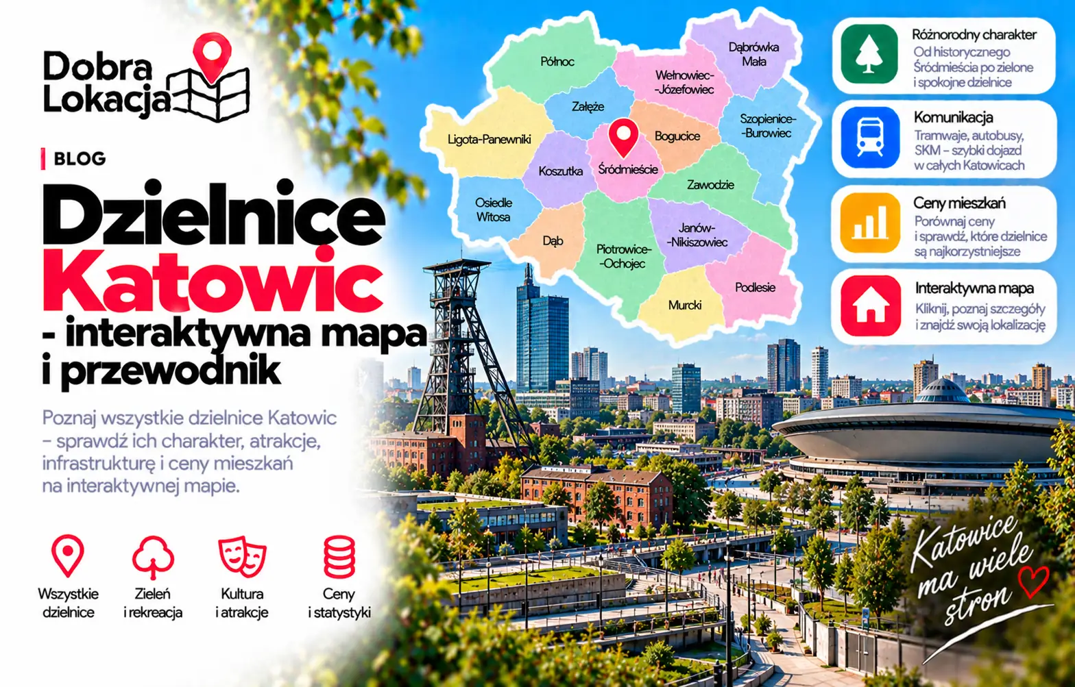
Katowice has a highly varied district structure: from Śródmieście and the Culture Zone to modernist Koszutka and Bogucice, historic Nikiszowiec, green Giszowiec, forested Murcki and suburban Podlesie. This interactive map helps compare each district's location, scale and character.
Interactive map of Katowice districts
Click a neighbourhood on the map or select it from the list. You will see its character, estimated population and area.
Select a neighbourhood:
Katowice districts overview
Below are all Katowice districts from the district layer, useful for comparing apartment locations.
Bogucice
Historic district by the Culture Zone, well connected to the centre
Brynów-Osiedle Zgrzebnioka
Green district by Kościuszko Park, near the Three Ponds Valley
Dąb
Quiet northern district near Silesian Park and the centre
Dąbrówka Mała
Small north-eastern district with single-family housing
Giszowiec
Garden estate surrounded by forests, quiet and green
Janów-Nikiszowiec
Historic Nikiszowiec workers' estate and green Janów
Kostuchna
Southern district with new developments and forest access
Koszutka
Modernist estate next to the centre, near Spodek and Silesia City Center
Ligota-Panewniki
Popular residential district with a basilica, forests and hospitals
Murcki
The most forested district with the Murcki Forest reserve
Osiedle Paderewskiego-Muchowiec
Estate by the Three Ponds Valley and Muchowiec airfield
Osiedle Tysiąclecia
Large housing estate within walking distance of Silesian Park
Osiedle Witosa
Block estate in the west, near green areas and the A4
Piotrowice-Ochojec
Southern estates with good amenities and nearby forests
Podlesie
Suburban district of family homes in the south
Szopienice-Burowiec
Eastern post-industrial district along the Rawa and Brynica
Wełnowiec-Józefowiec
Northern estates mixing houses and blocks, calm area
Zarzecze
Smallest, quiet district on the city edge amid greenery
Zawodzie
District east of the centre with office buildings and good transport
Załęska Hałda-Brynów
Western estates between Załęże and Brynów, good transport
Załęże
Working-class western district close to the centre and A4 motorway
Śródmieście
City centre: Market Square, Spodek, Culture Zone and main station
District character
Śródmieście and nearby districts
Śródmieście, Koszutka, Bogucice and Zawodzie offer the strongest access to services, offices, universities, the railway station, Spodek and the Culture Zone. These are the most urban parts of Katowice, but noise, parking and traffic should be checked carefully.
North and west
Osiedle Tysiąclecia, Dąb, Wełnowiec-Józefowiec, Załęże, Załęska Hałda-Brynów and Osiedle Witosa combine access to the centre, Silesian Park, A4 and large housing estates. They differ in density, greenery and commute convenience.
Industrial heritage and the east
Szopienice-Burowiec, Dąbrówka Mała and Janów-Nikiszowiec show the more historic and post-industrial side of Katowice. Nikiszowiec is culturally exceptional, but daily transport and nearby services should be checked address by address.
Green south
Ligota-Panewniki, Brynów-Osiedle Zgrzebnioka, Osiedle Paderewskiego-Muchowiec, Piotrowice-Ochojec, Giszowiec, Murcki, Kostuchna, Podlesie and Zarzecze offer more greenery, forests and a calmer rhythm. They work well for people who value space and recreation.
Check a specific location in Katowice
The district is only the first step. Enter an exact address and check transport, greenery, schools, services and everyday comfort.
Open location map