
How long is the commute to Warsaw center? Real times from 18 districts
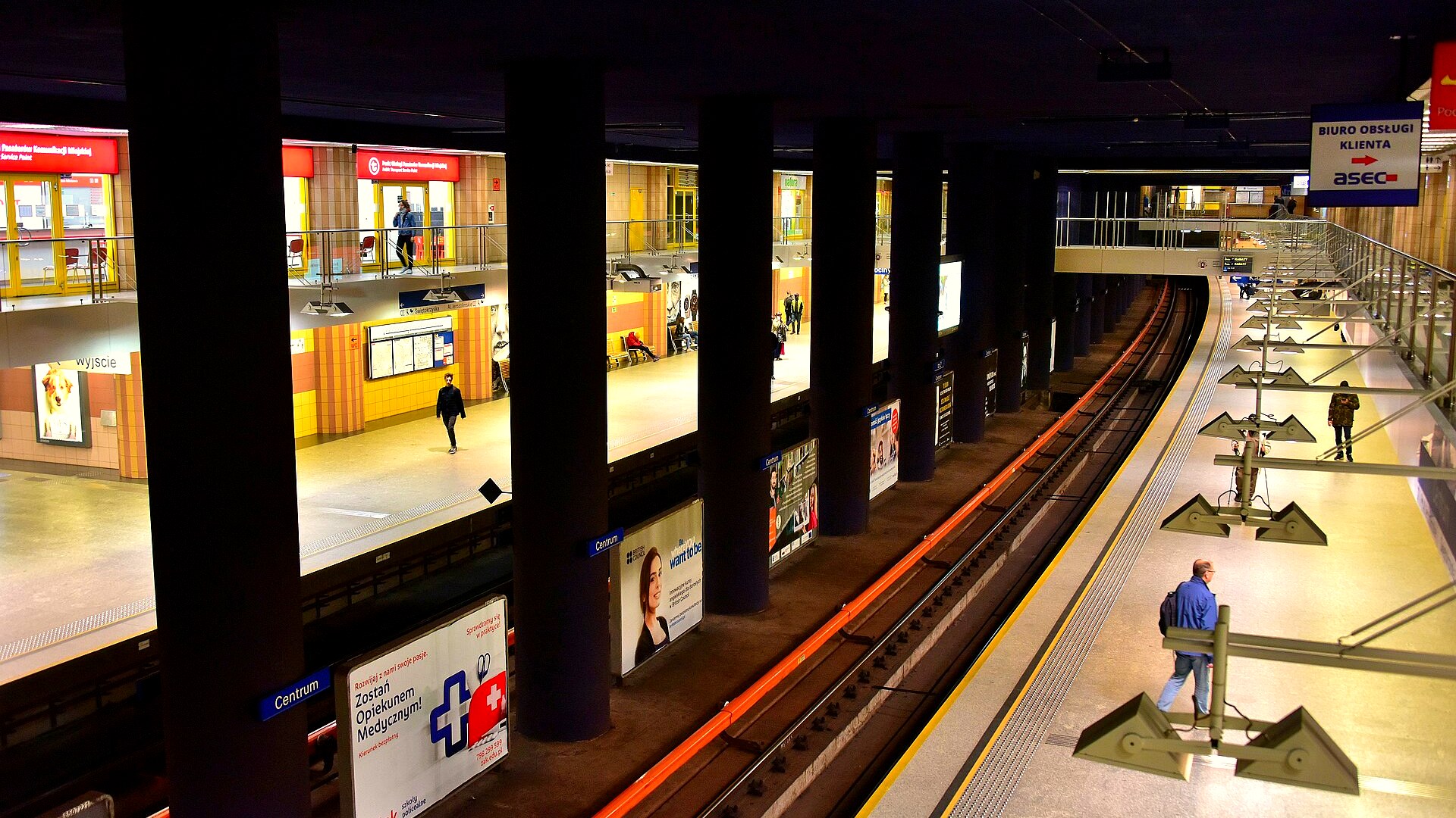
"15 minutes to the city center" sounds great in a developer's brochure, but it's rarely true during morning rush hour. We checked the real commute times from each of Warsaw's 18 districts to Metro Centrum (Rondo Dmowskiego) – by public transport and by car, using ZTM schedules, jakdojade.pl and Google Maps / TomTom typical traffic data for the morning peak.
What we count as "the center"
The reference point is Metro Centrum / Rondo Dmowskiego – the intersection of Marszałkowska and Aleje Jerozolimskie. It's the geographic and transport heart of the city: walking distance to the Palace of Culture, most Wola office towers, Świętokrzyska street and Złote Tarasy. Times reflect morning peak (7:30–9:00), when traffic is heaviest and trams/buses most crowded.
Table: commute time from each district
The starting point is the main transport hub of each district (usually a metro, SKM or PKP station). Add 5–15 minutes for walking from inside the housing estate to the hub.
| District | Transit | Car (peak) |
|---|---|---|
| Śródmieście (Downtown) | 5–10 min | 5–15 min |
| Ochota | 6–10 min | 10–20 min |
| Wola | 8–12 min | 10–20 min |
| Żoliborz | 10–14 min | 15–25 min |
| Praga-Południe | 6–10 min | 10–20 min |
| Praga-Północ | 8–12 min | 10–20 min |
| Mokotów | 16–22 min | 20–35 min |
| Bielany | 16–20 min | 20–35 min |
| Targówek | 16–22 min | 20–35 min |
| Ursynów | 22–28 min | 25–45 min |
| Bemowo | 22–28 min | 25–40 min |
| Włochy | 18–25 min | 20–35 min |
| Wilanów | 35–50 min | 25–45 min |
| Wawer | 25–35 min | 25–45 min |
| Białołęka | 35–50 min | 30–50 min |
| Ursus | 25–35 min | 25–45 min |
| Rembertów | 25–35 min | 30–45 min |
| Wesoła | 35–45 min | 35–55 min |
Fastest: metro M1 and M2
The M1 line (Bielany–Kabaty) and M2 (Bemowo–Targówek) are the only Warsaw transport that's fully independent of street traffic. From Pole Mokotowskie to Centrum is 4 minutes; from pl. Wilsona, 8 minutes; from Stadion Narodowy, 6 minutes. Living within 500 m of a metro station practically guarantees a ≤25 min door-to-door commute to the center at any time of day.
Slowest: districts without metro
Wilanów, Białołęka and Wesoła are Warsaw's three biggest transit deserts. Despite Wilanów's prestige and short crow-flight distance (8 km), it means 35–50 min on buses 519 or 116 with no rail alternative. Białołęka has tram line 2 and SKM Płudy, but the typical door-to-door trip still takes 40 minutes with a transfer. Wesoła relies on Koleje Mazowieckie (KM) every 15–30 minutes, and walking from the estate to the platform adds another 10–15 minutes.
Car vs transit – who wins?
Counter-intuitively, in rush hour the car almost never beats the metro. The TomTom Traffic Index 2024 places Warsaw among Europe's ten most congested cities – peak-hour travel takes +40–50% longer than free flow. Ursynów to Centrum is 30–45 minutes by car versus a reliable 24 minutes on M1. The exception: peripheral districts without fast transit (Wilanów, southern Wawer), where the car or the S2/POW expressway can beat transit, especially off-peak.
What's changing in the next few years
- M2 east – Wiatraczna and Gocław stations (planned after 2026) – major accessibility boost for Grochów and Gocław.
- Trasa Krasińskiego / tram to Zielona Białołęka – under consideration, no firm date.
- M3 line (Gocław–Stadion–Bielany via Wilanów) – early ZTM concept, realistically not before 2035.
How to read this when buying an apartment
"10 minutes from the metro" is a claim worth checking on foot. Every 100 m equals 1–1.5 min of walking. An address 500 m from a station means an extra 6 min each way, and 1 km adds 12 min. Over 220 working days, the difference between "by the metro" and "800 m from the metro" is roughly 70 hours per year spent walking.
Check the commute from any address
Enter an apartment address and get a 0–100 transport score – distance to metro, tram, train and bus stops. Free, no sign-up.
Check locationSources
- ZTM Warsaw – schedules for metro M1, M2, SKM and bus lines (wtm.warszawa.pl).
- jakdojade.pl – typical door-to-door travel times in peak hours (2025–2026 sample).
- Google Maps – "typical traffic" for Tuesday/Wednesday 8:00 a.m. on driving routes.
- TomTom Traffic Index 2024 – Warsaw: 37 min/10 km in morning peak, +40% penalty.
- Koleje Mazowieckie / SKM Warsaw – S1, S2, S3 line schedules.
Note: ranges reflect morning peak. Off-peak (weekends, 11 a.m.–2 p.m.) trips are 20–30% shorter, especially by car.